
Features gPocket
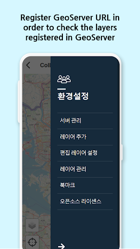
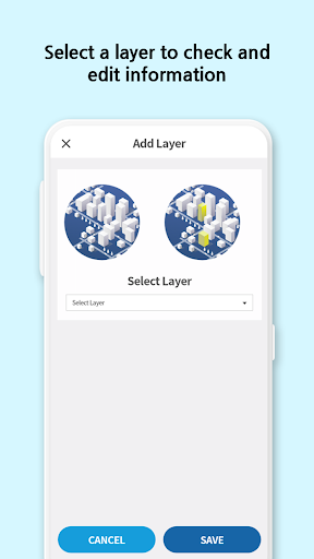
Implementing collect and edit functions in a mobile environment for spatial data(Point, Polyline, Polygon) using public OGC international standard WFS-T service such as GeoServer or PINOGIO platform from MangoSystem Inc.[ Main Functions] ● Manage Server - Register/Modify/Delete information of public data collecting PINOGIO or other GIS server - Option to register multiple servers and collect data ● Edit spatial and attribute data - Support edit functions(add/modify/delete) for data selected by the user - Support geometries types like Point, LineString, Polygon - Support attributes editing - Attach photo (when using PINOGIO platform) ● Layer Manage - Support layer ordering - Support layer removal function ● Bookmark Managing - Save/Delete region interested by the user ● Project Managing - Create/Edit project ● Project’s Dataset Managing - Create/Edit/Delete empty dataset - Create/Edit/Delete field● Project members Managing - Inviting members to project and request to add as a member - Setting permissions for members - Kicking out members from project and leaving projects[ Note] ● Support all main international coordinate systems.
● We recommend Geoserver’s version 2.5 or higher ● GPS function allows you moving to your current position[ Used OpenSource Project ] ● Ionic ● Ionic-native ● Cordova ● Cordova-Android ● Cordova-iOS ● Angular ● Leaflet ● Jquery ● ngx-translate ● proj4Spatial data is in my hands!
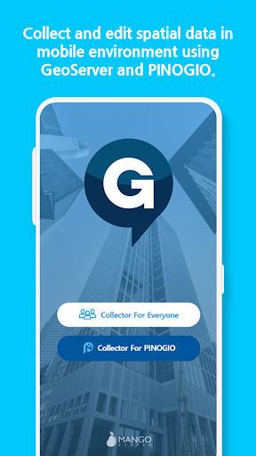
gPocket - the best data collection tool!
Camera Features
Advanced camera features with editing capabilities.
Fitness Tracking
Track your workouts and monitor your health metrics.
Travel Features
Plan and manage your travels with ease.
See the gPocket in Action
Get the App Today
Available for Android 8.0 and above